Geography Awareness Week is an annual event held in the third week of November. The event focuses on involving more persons in the geographical world; the interconnectivity of humans and the natural environment, to each other, and to the greater world we live in. The University of Guyana Geographical Society used the opportunity to engage members of the public on some of the critical geographical issues facing us, through a varied programme of events.
The week began with an online article published on the society website and social media platforms. The ‘On-Campus Geography Day’ event featured interactive booths that served to engage visitors. GIS Day, seen as the central activity of the Week and done in collaboration with several governmental organizations, featured Society members at every aspect of the programme. Towards the end of the week, two primary schools were visited and the society held a public awareness project at Giftland, where members of the public were engaged in discussions.
WEB ARTICLE

The society’s article for Geography Week was published on its website (https://geographicalsociety.weebly.com/news–activities). The article revolved around the theme of “THINK GEOGRAPHY: DEVELOP WISELY!” from this the nature, careers and Geography’s aid to national development were presented. The article sought to convey that geography is multidisciplinary, with a long history that feeds into disciplines such as planning and demography.
ON CAMPUS GEOGRAPHY DAY
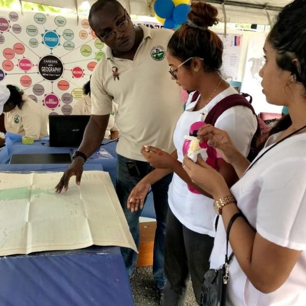
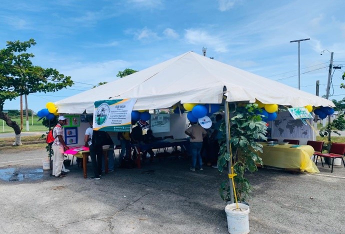
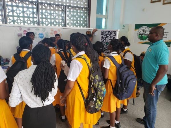
On the 12th of November, the society would have organized for an ‘On Campus Sensitization Project’. This event took place on the GWLT Parking Lot from 11 am to 4 pm. Within this project there were a number of sub-activities, these were featured in the Medical Geography Booth, Mapping Instruments Booth, Research Project Booth, and Careers in Geography Booth.
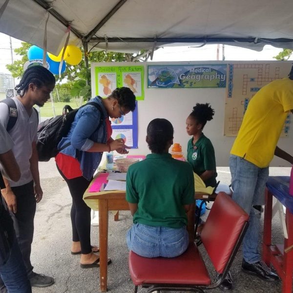
At the medical geography booth, society members engaged university students in aspects such as locating the highest ranking breast cancer country in the world, and also posited a case study on the possible spatial implication of mercury contamination in Guyana’s freshwater streams. Members also used statistics to create maps that showed alcohol usage per region in Guyana.
At the mapping instruments booth, visitors were engaged in activities such as past and current tools used for mapping, how to read a map, how to use a compass, orienting a map, taking bearing, and understanding marginal information on a map.
At the research projects booth, research undertaken by third year students was presented on comparison between two wetland types (Iturbisi Lake and The Victoria Mangrove Restoration Site); and land use issues in Potaro Siparuni; Sub-region 2 (Campbell Town and Maicobe).
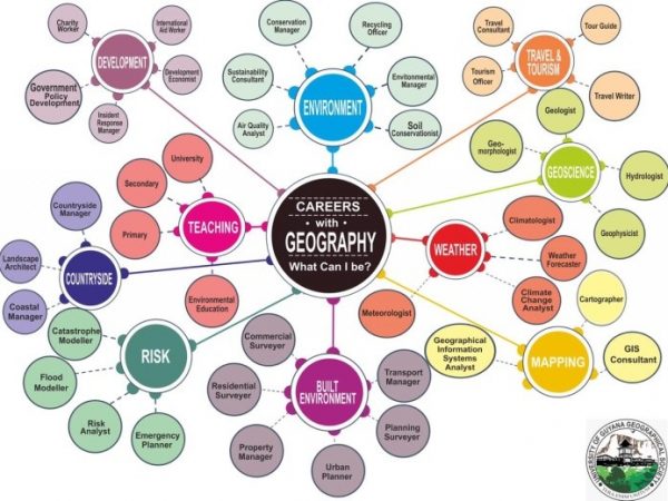
At the Careers in Geography booth, discussions were held with students on how geography covers a broad cross-section of career options. They also indicated the gaps that Guyana faces in the field of spatial sciences. Aided by a poster, visitors were able to understand the various branches of the core geography field.
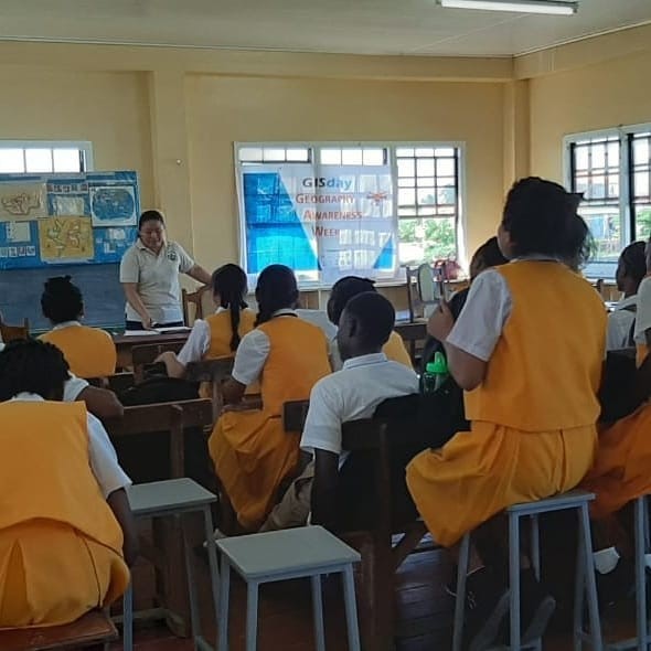
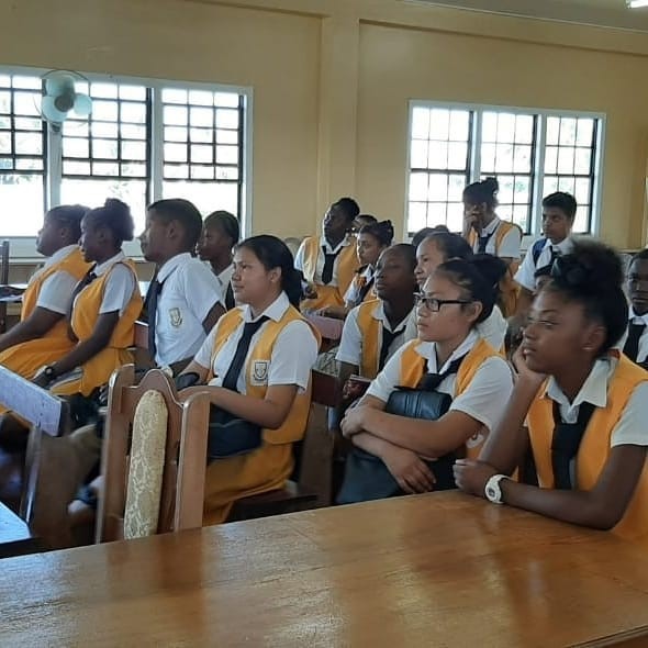
GIS DAY
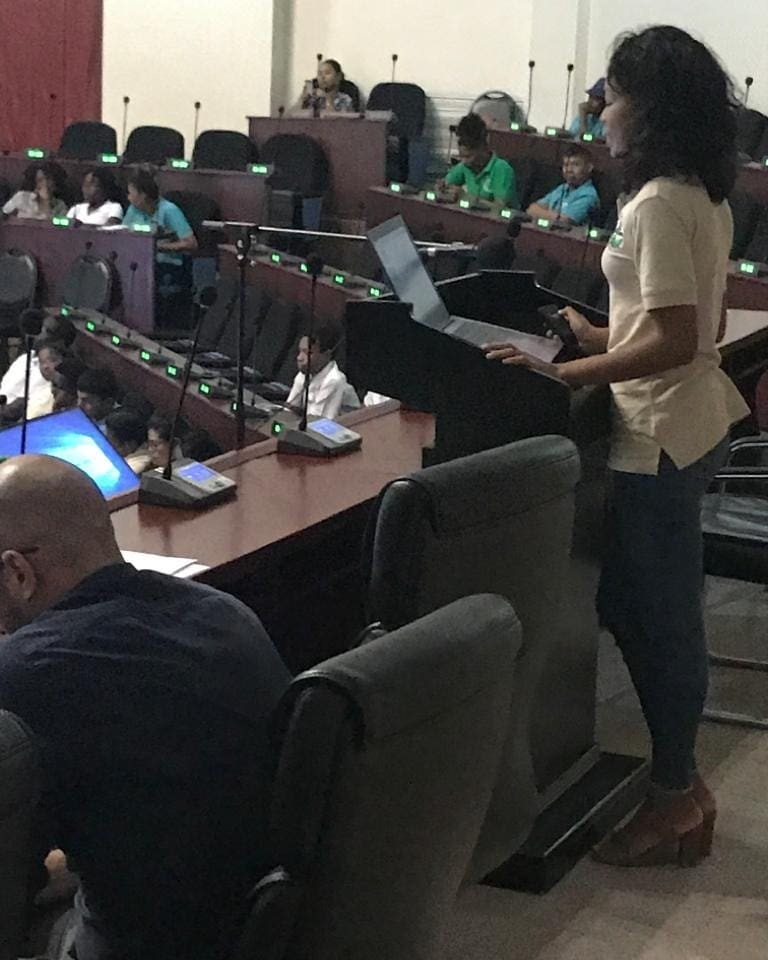
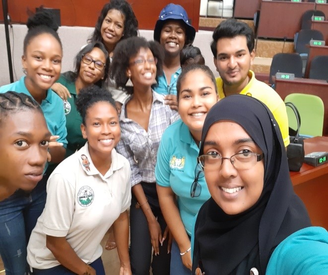
UGGS formed a critical part of the GIS Day Organising committee, together with representatives from the GGMC, EPA, CHPA, CI, and WWF. Observed on November 13th at the Arthur Chung Convention Centre, the event featured speeches and presentations from the Minister of Telecommunications, Dean-FEES, head of Conservation International, and the UGGS Vice President, Jillyne Bell. The UGGS engaged participants in a participatory mapping activity using the OpenStreetMap platform, discussions on geography careers, and an open space discussion. The latter activity saw secondary school attendees brainstorming ways to apply GIS technologies in certain scenarios; to name a few – wildlife monitoring, deforestation monitoring, traffic management, mapping of malaria-prone areas, and mapping of alternate routes to remote locations.
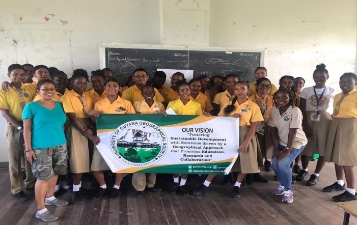
SCHOOL VISITS
Activities on November 15 featured visits to two secondary schools: Friendship Secondary School and Cummings Lodge Secondary School.
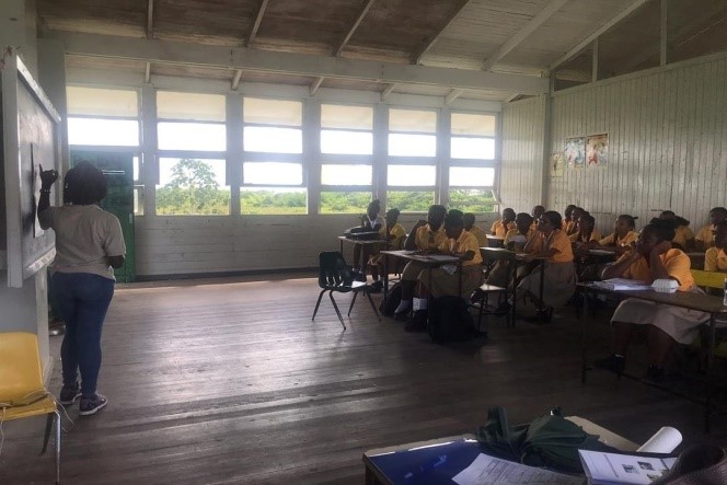
At Friendship Secondary, members were tasked with encouraging the study of geography by teaching map reading to teens. The target group of this exercise were fourth and fifth for students currently doing geography at Caribbean Examination level, and the topic taught was four and six figure grid reference. An opening description of careers that rely heavily on geography peaked students’ interest and ignited a discussion since many students indicated they were unaware of the jobs rooted in geography.
At Cummings Lodge Secondary, presentations were made on the history of geography through the use of temporal maps. This featured notable geographers from the Greeks to current day specialists. Geography career options and links to various agencies in Guyana were also discussed, followed by an interactive exercise on location and grid systems. At both events prizes were awarded to students who successfully completed their task, which helped garner much excitement.
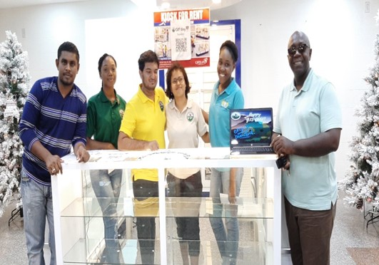
PUBLIC AWARENESS
The final activity was held on November 16, 2019 at the Giftland Mall, to sensitize members of the public on the usefulness of Geography and its importance to national development. Presentations and flyers were made available to passersby to engage persons on various geographical concepts.
In conclusion, the weeklong sensitization events were a success as persons left with a better grasp of the discipline and Society members were afforded with a wide range of exposure.